How Accurate Are Ceres Gen 6 GPS Cattle Ear Tags?
About 96% of Positions Land Within 10 Metres
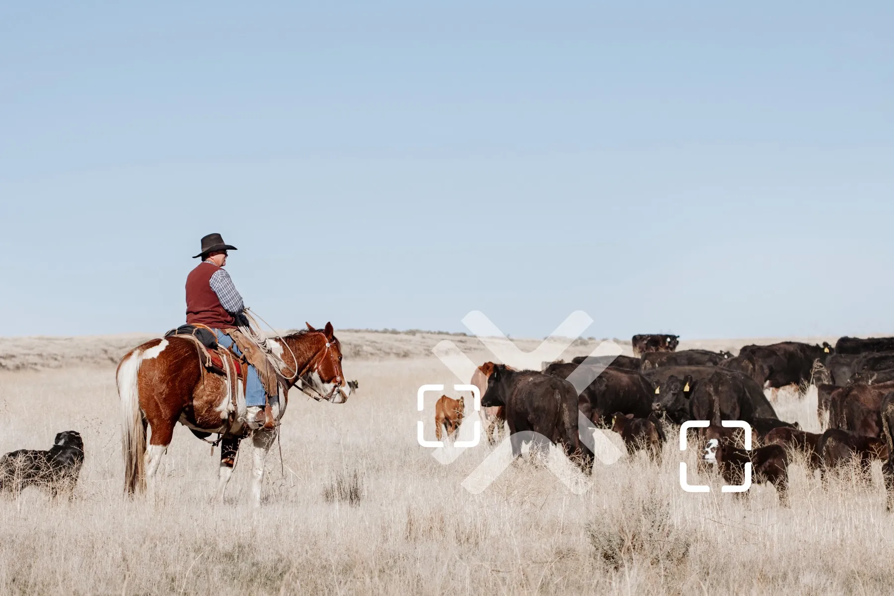
Short answer: about 96% of the positions a Ceres Gen 6 tag reports land within 10 metres — measured across a season of positions from our customers’ own herds.
Ten metres is roughly the length of a stock trailer. So when the map puts a dot on an animal, you are usually looking at a spot you could walk the length of.
Here is what that means in the pasture.
What “within 10 metres” actually means
Every position a tag sends comes with its own accuracy band — the tag’s own read on how good that fix was. The bands run from 2 metres out to over 100.
It helps to think about them in terms of what you would do.
| The fix | About the size of | What you do |
|---|---|---|
| Within 5 metres | A horse trailer | Ride to the dot |
| Within 10 metres | A stock trailer | Ride to the dot and look up |
| Within 25 metres | A corral | Ride to the dot and look around |
| Within 100 metres | A small paddock | You can see across it from the middle |
At 96% within 10 metres, nearly every fix a Gen 6 sends is in the top two rows.
Why a fix varies at all
A satellite tag works out where it is by listening to satellites overhead. The more of them it can hear clearly, the tighter the answer.
Open country gives a tag a clear view of the sky, so the fixes come in tight. Heavy timber, a canyon wall or a deep draw puts something between the tag and the satellites, and the fix opens up.
This is the same physics as the GPS in a truck losing its place under a bridge. It is not a fault in the tag, and there is no setting that changes it — it is where the animal happened to be standing when the tag looked up.
What you do with the positions
| What it gives you | |
|---|---|
| The map | Every tagged animal’s last reported position, on satellite imagery of your own ground |
| Trails | Where an animal has been over recent days — which way they drifted, where they water |
| Pasture heat maps | Where the herd actually spends its time in a pasture across a season |
| Geofence alerts | A message when a tag reports from outside a boundary you have drawn |
| Export to Google Maps | Send a position to your phone and navigate to it |
Why most outfits start with the bulls
Bulls cover the most ground, cost the most to replace, and are the hardest to find once they are gone. South Dakota State University Extension puts a bull’s value at $7,000 and up.
They also found that bulls sharing a pasture often graze in different parts of it — so a tagged bull will usually tell you where a bunch of cows are without you having tagged the cows.
What it looks like on a real outfit
“We put tags in all our bulls before turning out this summer. With the help of Terra Optics, we were able to recover a stray bull who had wandered off our allotment. He was 2 ridges over from where he should have been and we probably would have lost him without this system. We’re planning on more deployments next season.”
— Tor S Ranch, Eastern Oregon
They found a second bull and a handful of cows later in the same season.
Where to get them
The Ceres Gen 6 is $39.99 a tag through our shop, and it switches itself on — no extra hardware needed. Satellite service is $4.99 per tag per month, and the ranch software is $29.99 a month plus 50 cents per linked tag.
The full breakdown is in what satellite GPS cattle tags cost.
To Recap
About 96% of Ceres Gen 6 positions land within 10 metres — roughly a stock trailer’s length.
Each tag reports up to four times a day, and the map keeps the trail.
Common questions
How accurate is a Ceres Gen 6 GPS cattle ear tag?
About 96% of the positions a Gen 6 reports land within 10 metres, measured across a season of positions from Terra Optics customers' own herds. Ten metres is roughly the length of a stock trailer.
Why does GPS accuracy vary?
A tag works out where it is by listening to satellites overhead, so the more of them it hears clearly the tighter the fix. Open country gives a clear view of the sky and tight fixes. Heavy timber, a canyon wall or a deep draw puts something in the way and the fix opens up. It is the same physics as a truck's GPS losing its place under a bridge.
How often does a Ceres tag report?
Up to four positions a day, anywhere it can reach the satellite network. Between reports the map holds the last position and the trail showing where the animal has been.
What does a Ceres Gen 6 tag cost?
The tag is $39.99 through the Terra Optics shop and switches itself on with no extra hardware. Satellite service is $4.99 per tag per month, and the ranch software is $29.99 a month plus 50 cents per linked tag.
Do I need to tag every animal?
Most outfits start with their bulls, then high value cows and replacement heifers. South Dakota State University Extension found that bulls sharing a pasture often graze in different parts of it, so a tagged bull will usually tell you where a bunch of cows are.